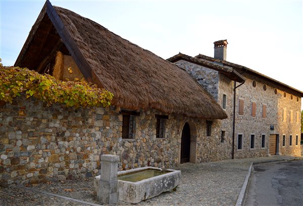
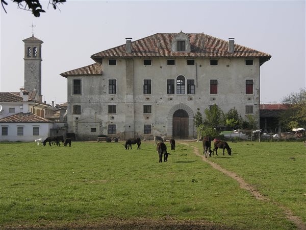
A1. The Charm of Rurality
Fagagna, Rive d’Arcano, Coseano, San Vito di Fagagna
Departure: Cjase Cocèl (Fagagna)
Length: 27.5 km (of which 4.6 unpaved)
Difficulty: Easy, almost completely flat
Average travel time: 2 and a half hours + stops
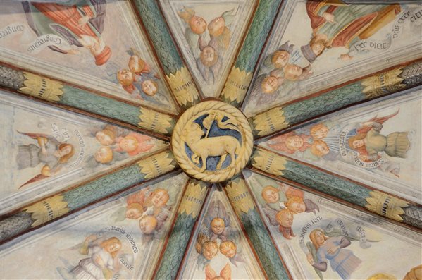
A2. A Journey Into Sacred Art
San Daniele del Friuli, Majano, Forgaria nel Friuli, Pinzano al Tagliamento, Ragogna
Departure: Piazza IV Novembre Via San Daniele del Friuli
Length: 35.0 km
Difficulty: Medium, with some height difference (DH 500 m.)
Average travel time: 2 and a half hours / 3 hours + stops
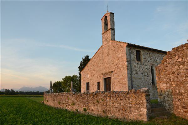
A3. Popular Religiosity
San Daniele del Friuli, Dignano, Coseano, Rive d’Arcano
Departure: Car park in Via Udine (San Daniele del Friuli)
Length: 38.9 km (of which 1.8 unpaved)
Difficulty: Easy, almost completely flat
Average travel time: 3 hours + stops
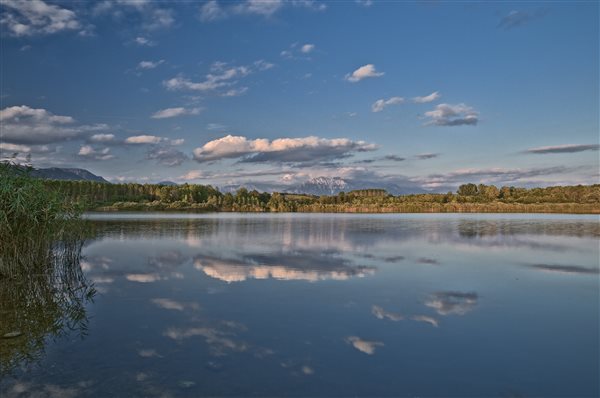
A4. The Water Enviroment
San Daniele del Friuli, Ragogna, Majano
Departure: Soprapaludo (San Daniele del Friuli)
Length: 24.5 km (of which 5.7 unpaved)
Difficulty: Easy, almost completely flat (DH 150)
Average travel time: 2 hours + stops
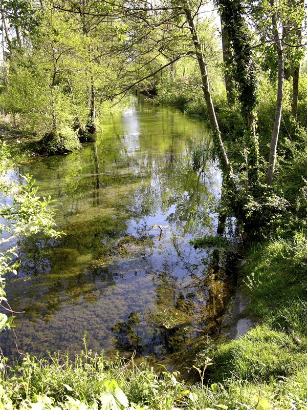
A5. Discovering the Springs
Osoppo, Majano, Buja
Departure: Piazza Dante A. (Osoppo)
Length: 23.1 km (of which 10.2 unpaved)
Difficulty: Easy, completely flat
Average travel time: 2 hours + stops
A6. Along the Cormôr Valley
Osoppo, Buja, Treppo Grande, Cassacco
Departure: Square of the train station of Osoppo
Length: 35.5 km (of which 7.6 unpaved)
Difficulty: Easy, with some differences in height
Average travel time: 2 and a half hours + stops
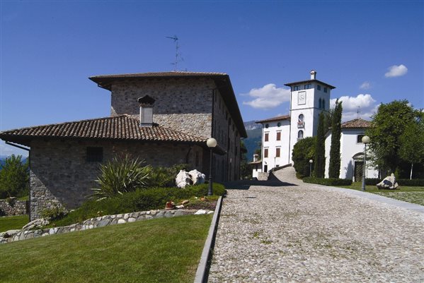
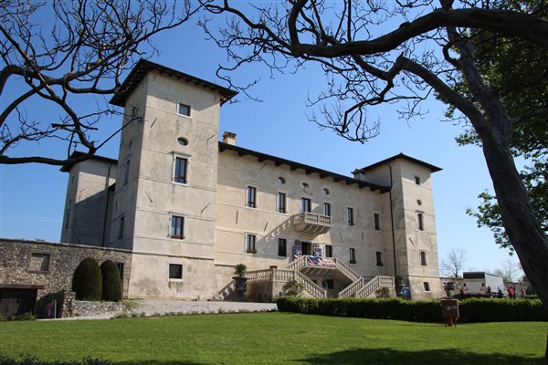
A7. A Route Through Ancient Emotions
Colloredo di Monte Albano, Moruzzo, Pagnacco
Departure: Piazza del Castello (Colloredo di Monte Albano)
Length: 24.8 km (of which 4.5 unpaved)
Difficulty: Easy, with some differences in height
Average travel time: 2 hours + stops
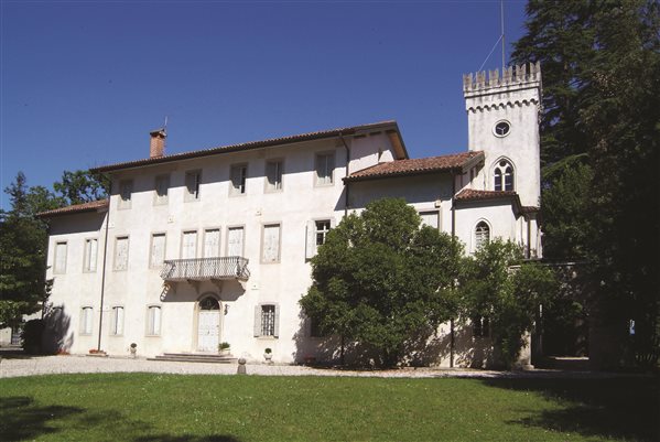
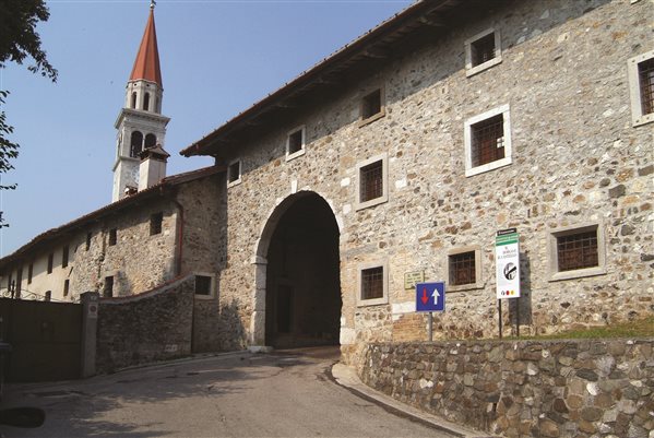
A8. Noble Residences of the High Plain
Fagagna, San Vito di Fagagna, Flaibano, Dignano, Coseano, Rive d’Arcano
Departure: Piazza dell’Unità d’Italia, Fagagna
Length: 44.0 km (of which 15.9 unpaved)
Difficulty: Easy, completely flat
Average travel time: 3 and a half hours + stops
B1. San Daniele and Surroundings
San Daniele del Friuli, Majano, Forgaria nel Friuli, Pinzano al Tagliamento, Ragogna
Departure: Osteria del Borgo - Soprapaludo (San Daniele del Friuli)
Length: 36.3 km (of which 4.0 unpaved)
Difficulty: Medium, with some height difference (300 m.)
Average travel time: 2 and a half hours + stops
B2. Waters and Mills in the Shadow of Castles
Cassacco, Treppo Grande, Buja, Majano
Departure: Mulino Ferrant (Cassacco)
Length: 35.0 km (of which 4.5 unpaved)
Difficulty: Easy, with some ups and downs (DH 200 m.)
Average travel time: 2 and a half hours + stops
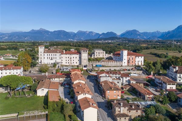
B3. A Ride With the Saints
Colloredo di Monte Albano, Tricesimo, Cassacco, Treppo Grande, Buja, Majano
Departure: Church of SS. Andrea and Mattia (Colloredo di Monte
Albano)
Length: 31.5 km (of which 5.0 unpaved)
Difficulty: Easy, almost completely flat with some short climbs (DH 300)
Average travel time: 2 and a half hours + stops
B4. Up and Down the Hills
Fagagna, Martignacco, Moruzzo, Pagnacco
Departure: Church of S. Maria Assunta (Fagagna)
Length: 29.4 km (of which 6.6 unpaved)
Difficulty: easy, with some height differences (DH 300 m.)
Average travel time: 2 and a half hours + stops
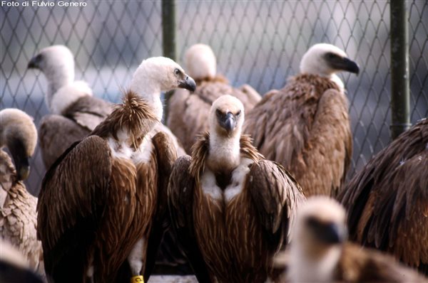
B5. Where the Griffons Fly
Forgaria nel Friuli, Pinzano Al Tagliamento, Ragogna, San Daniele del Friuli
Departure: Parking lot of the “Ai Glicini” restaurant (Cornino - Forgaria nel Friuli)
Length: 25.0 km (of which 6.6 unpaved)
Difficulty: Medium, with numerous height differences (DH 300 m.)
Average travel time: 3 hours + stops
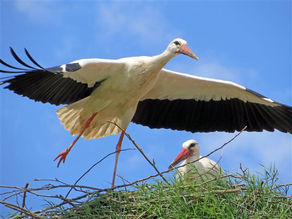
B6. Where Storks Fly
Fagagna, Moruzzo, Martignacco, Pagnacco, Colloredo di Monte Albano
Departure: Birdlife Centre (Fagagna)
Length: 34.0 km (of which 7.7 unpaved)
Difficulty: Easy, almost completely flat with continuous ups and downs (DH 450m.)
Average travel time: 2 and a half hours + stops
B7. A Look Into the Past
San Daniele del Friuli, Rive d’Arcano, Ragogna, Pinzano al Tagliamento, Forgaria nel Friuli, Majano
Departure: Soprapaludo in San Daniele del Friuli P
Length: 45.0 km
Difficulty: Medium, with someheight difference (DH 500m.)
Average travel time: 3 and a half hours + stops
B8. Ancient Local Nobility
Fagagna, Moruzzo, Colloredo di Monte Albano, Treppo Grande, Cassacco, Tricesimo, Tavagnacco, Pagnacco, Martignacco
Departure: Piazza Unità d’Italia in Fagagna
Length: 55.0 km
Difficulty: Medium challenging, with some height differences
Average travel time: 4 hours + stops